Take a Hike… to Mount Keen
A tramp up one of Scotland’s easiest Munros
If you like to get up high for a bit of solitude then the most easterly Munro, Mount Keen, is a good place to head.
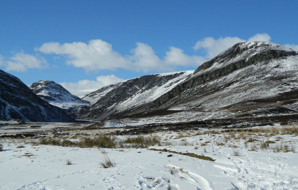
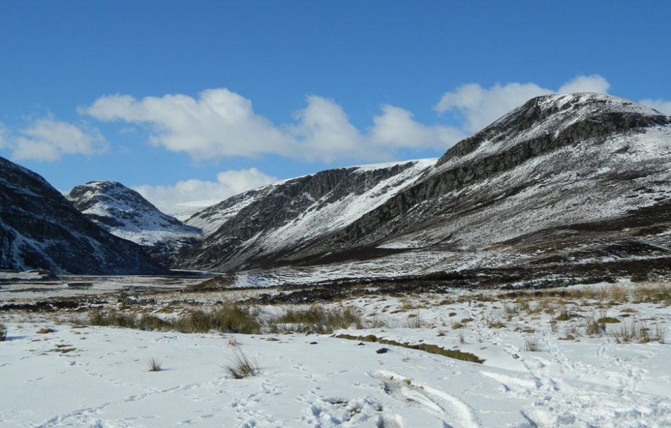
The traditional route starts from the head of lonely Glen Esk. You’re immediately enveloped in a sense of space and vast open mountain country. Follow an ancient drove road, the Mounth Road, which links Angus and Deeside.
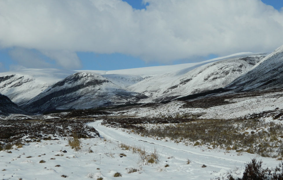
The great walk-in up Glen Mark leads past a monument and then a good path up to the higher ground. Mist and low cloud can however make this a bit of a trudge, so it is definitely a route for a clear day when the sheer scale of remote country can be fully appreciated.
The Route:
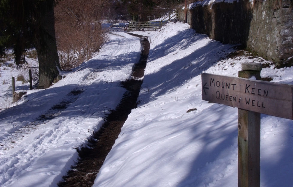
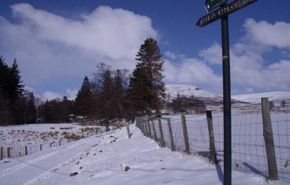
- To start, carry on up the road over a small stone bridge. Turn right, onto a track just before a larger bridge, following a wooden sign to “Queen’s Well – Mt Keen”. If you look left you can see the ruins of Invermark Castle. This was built in the 16th century to defend the route between Glen Esk and Deeside.
- Go left after about 100 yards, onto a grassy track and then through a gate to begin the walk up Glen Mark, ignoring a double gate on your right shortly afterwards.
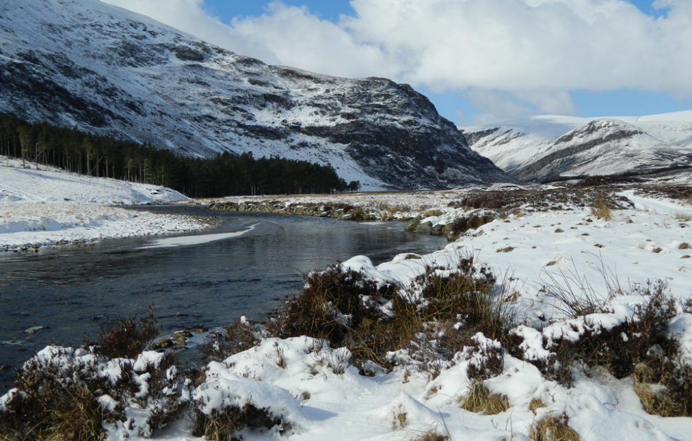
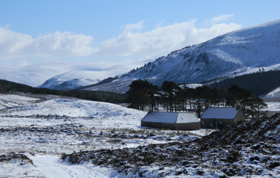
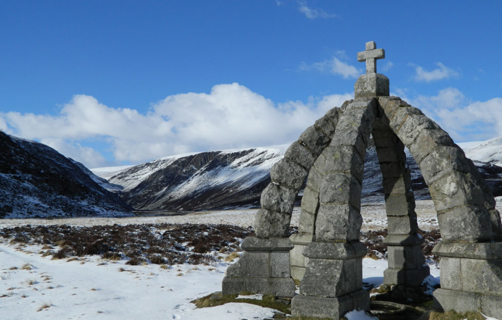
- Pass through an older metal gate and the glen can be seen in all its glory. Keep on the main track and about two miles from its start you pass the Queen’s Well. This crown-shaped stone structure was built to commemorate a visit by Queen Victoria and Prince Albert in September 1861 – weeks before the death of the prince – when they drank from its waters after riding over from Balmoral, via Mount Keen. Branch off right here, away from the impressive gorge near the top of Glen Mark, to follow a track which leads right next to Invermark Lodge.
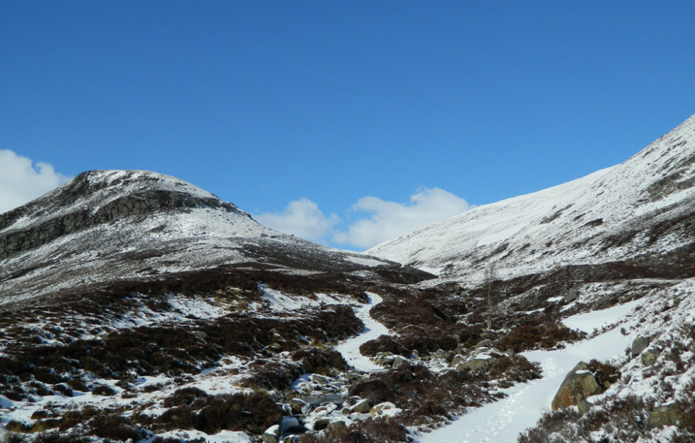
- Just after the lodge the track fords Easter Burn – you may have to search for an easier crossing place upstream if the water is high – then crosses Ladder Burn. The steep part begins here as the track leads up by the side of the burn then zig-zags to Mount Keen’s southern flanks.
- The path levels off after you have passed the promontory of Couternach on your left. Then, with the Knowe of Crippley to your left and Mount Keen to your right, bear right at a fork for the final section to the trig point. The views are great, with Lochnagar to the west. Retrace your steps to the car park.
Mount Keen Winter Gallery
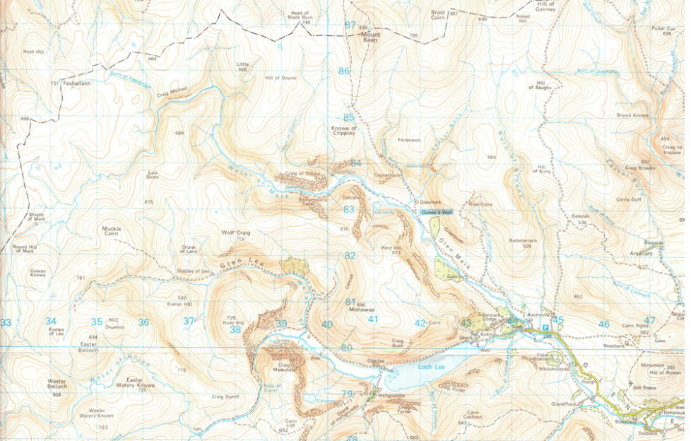
- OL54
- Glen Mark
- The Queen’s Well
The Facts
- Distance 18km (11 miles)
- Ascent 732m (2,400ft)
- Time 5 to 6 hours
- Map OS Landranger 44
- Parking: Turn off the B966 about a mile north of Edzell, onto the Glen Esk road. About 15 miles along it, near the end, is the Invermark car park.
Mount Keen
A Bit More Strenuous?
More Munro bagging is to be had in Glen Clova, with Mayar and Driesh.
Or Very Strenuous
Continue to Glen Tanar from the summit, making the total route 15 miles. This descends through more great country, filled with pine forest lower down. You need to organise a car at either end to return to Glen Esk, but it’s well worth it.


